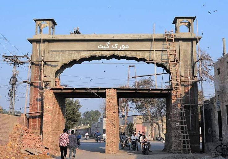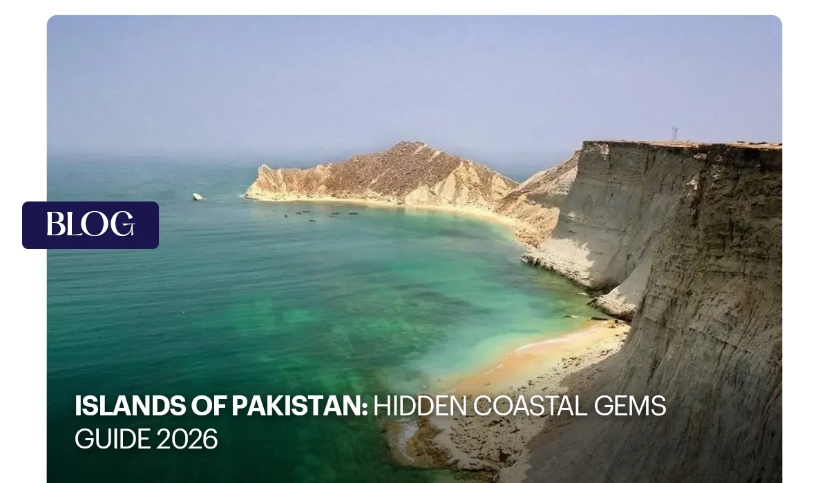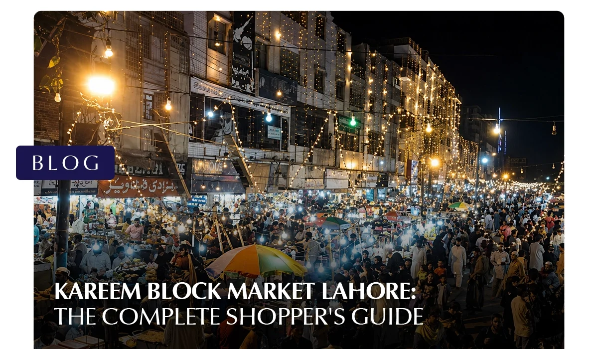
Kareem Block Market Lahore: The Complete Shopper’s Guide
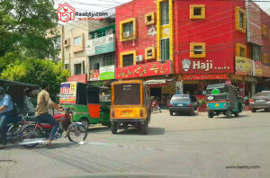
Located in Allama Iqbal Town on Lahore’s Wahdat Road, Kareem Block Market has spent nearly five decades building a reputation that most shopping plazas in the city can only aspire to. It is loud, crowded, and one of the few places in Lahore where a first-time visitor and a lifelong Lahori end up haggling over the same shirt for the same price. This guide walks through everything a shopper needs before heading to Kareem Block Market, from its exact coordinates to the one historical detail almost nobody writing about the market ever mentions.
Where Exactly Is Kareem Block Market?
Kareem Block Market sits at Kareem Block, Allama Iqbal Town, Lahore, Punjab 54000, right beside Umer Block on Wahdat Road. For anyone plugging coordinates into a map app, the market sits close to 31.4815° N, 74.3030° E, near the crossing of Multan Road and Wahdat Road.
Coming from Maulana Shaukat Ali Road: head toward Jauhar Town, pass Shaukat Khanum Hospital, then turn onto Main Boulevard Allama Iqbal Town. Kareem Block is a short distance further, near Moon Market, and signposted once you’re on the boulevard.
Coming from Multan Road: follow Multan Road onto Main Boulevard Allama Iqbal Town, pass Scheme Morr, and continue toward Kareem Block. Traffic is usually heavy this close to the market, which is itself a sign you’re almost there.
Coming from Fazal e Haq Road (Samanabad): head toward Main Boulevard Allama Iqbal Town via Mor Samanabad. The drive takes roughly 10 to 15 minutes depending on traffic.
By metro: the Orange Line stop at Samanabad is the closest station, followed by a short rickshaw ride of about 10 minutes into the market.
For parking, Moon Market’s plaza is the most reliable option and sits about a five-minute walk from the main lanes, since on-street parking around Kareem Block itself is limited.
What Surrounds the Market
Kareem Block Market backs onto Multan Road to the north and Wahdat Road to the east, which connects Punjab University and Gulshan-e-Iqbal Park. To the west sits Umer Block Market, a more built-up commercial plaza.
Nearby landmarks worth knowing include Moon Market for parking, Allama Iqbal Open University’s Raza Block, and Gulshan-e-Iqbal Park about fifteen minutes away, which makes for an easy stop after a long shopping session.
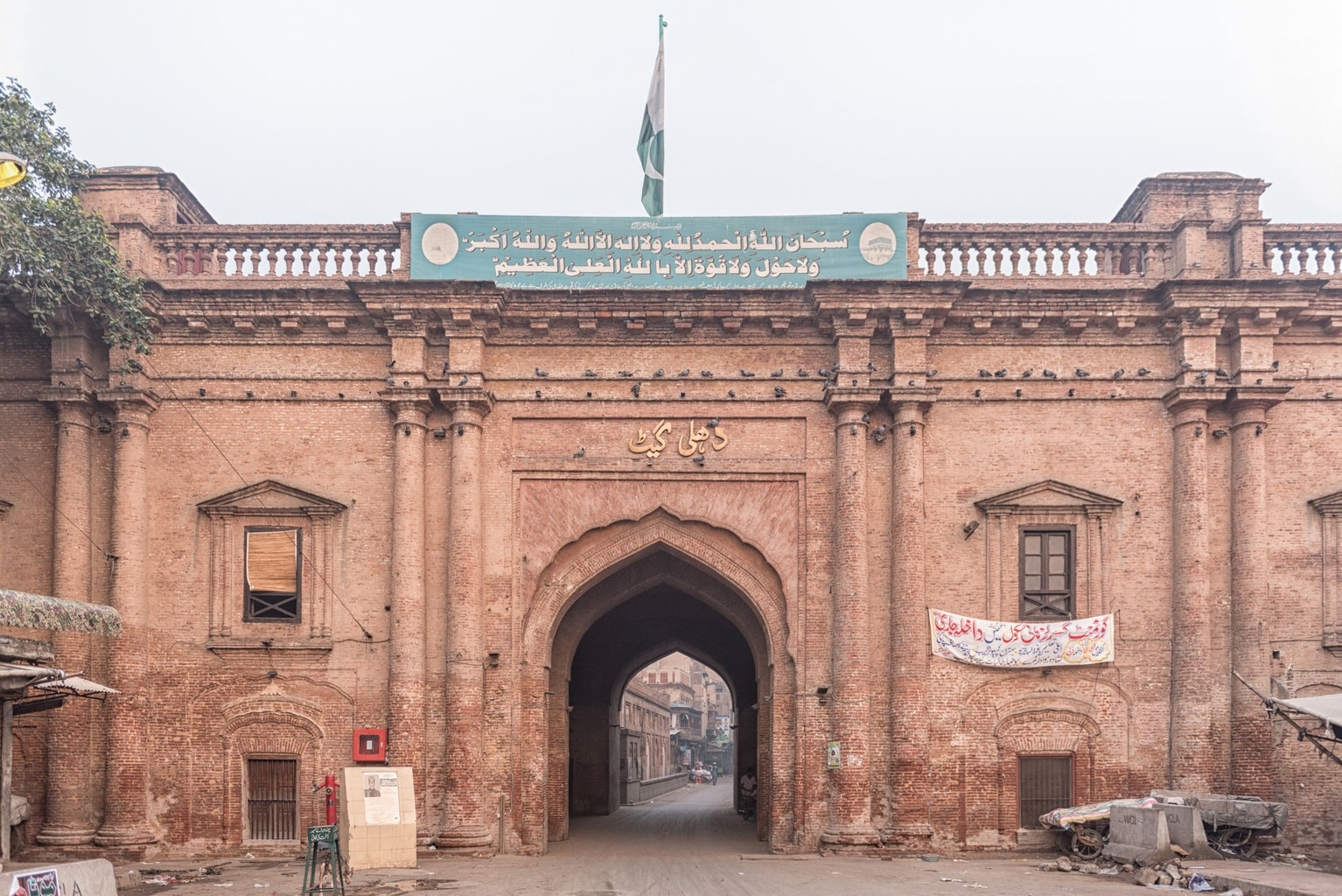
The History Behind Kareem Block Market
Kareem Block Market’s story begins in the late 1970s, when it was developed as part of Allama Iqbal Town, a residential and commercial scheme built by Hassan Zaman Pvt Limited on what was previously known as “Sola Sau Acre”, literally “sixteen hundred acres,” later renamed in honour of Pakistan’s national poet, Allama Muhammad Iqbal.
A key reason the area first became commercially significant is its proximity to Lahore’s film industry.
In the 1980s and 1990s, the nearby Shahnoor and Bari Studios drew actors, filmmakers, and the wardrobe and prop trade that follows a film set.
That early foot traffic from the cinema world helped shape the market’s original identity before it evolved into the textile and garment destination it’s known as today.
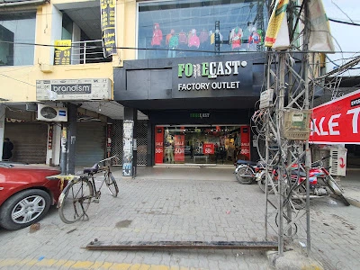
Over the decades, that shift has produced more than a hundred commercial buildings that now blend old-style bazaar stalls with newer factory outlets, a layering of eras that’s part of what makes the market feel like a maze rather than a mall.
There’s also a naming quirk worth knowing before you search for it online: both “Kareem Block” and “Karim Block” are in circulation, and locals use them interchangeably. The market’s official Facebook community goes by “Kareem Block Market Lahore Official,” while local signage and everyday conversation lean toward both spellings depending on who you ask.
Inside the Market: Sections and Specialties
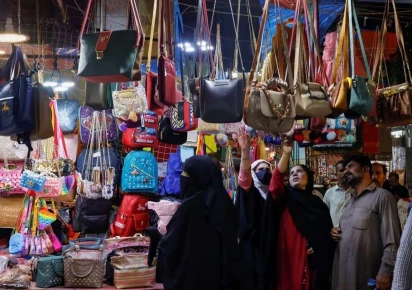
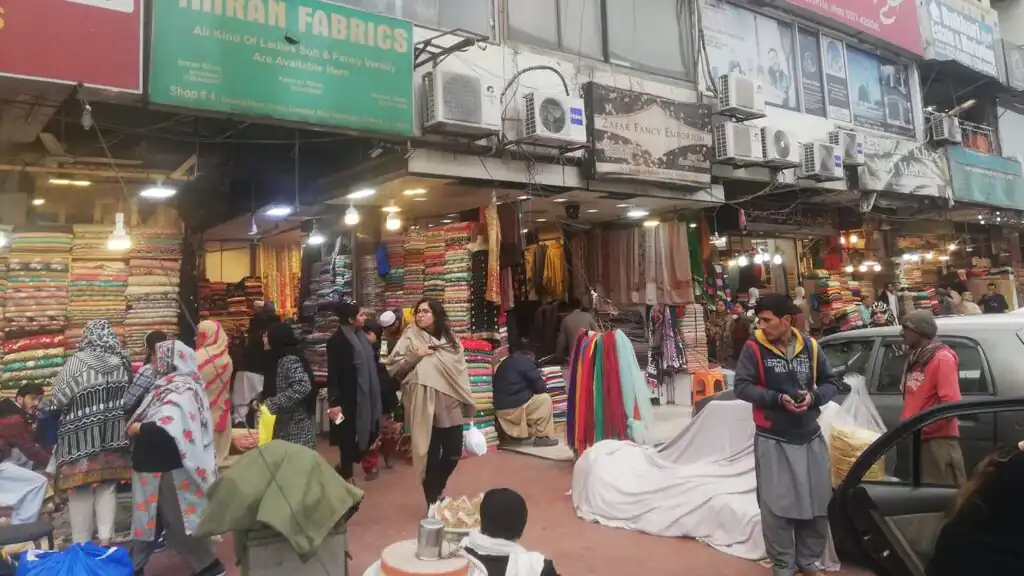
Kareem Block Market isn’t organized like a mall. It winds through narrow lanes that group loosely by specialty rather than clear signposted zones, which is part of its charm and part of why a first visit can feel overwhelming.
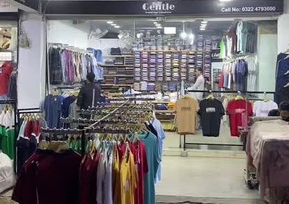
- Garments and apparel: everything from basic shalwar kameez and casual denim to discounted stock from brands like Levi’s, Outfitters, and Minnie Minors. Shirt prices can start at PKR 300, which is a major reason the market draws budget-conscious shoppers and bridal parties alike.
- Footwear: a wide mix of local and imported shoes for men, women, and children.
- Jewelry: classic gold and silver pieces sit alongside artificial jewelry for shoppers working with a tighter budget.
- Mobiles and electronics: a cluster of shops dealing in phones and accessories, where patient bargaining tends to pay off.
- Food and snacks: street stalls serving shawarma, fries, burgers, and local snacks, plus at least one long-standing bakery favourite among regulars.
- Everyday essentials: pharmacies, grocery stores, and general stores round out the market for nearby residents.
When to Go?
Kareem Block Market typically opens around 11:30 AM and stays busy well into the night, with many shops only closing between 3:00 and 4:00 AM. The quieter window is early evening, around Asar time, before the crowd thickens.
From evening until roughly 1:00 AM, the market is at its busiest, especially on weekends and during Eid or wedding season, when extended hours and festive discounts bring in noticeably larger crowds.
The market also stays open on Sundays, since that’s a common shopping day in Lahore rather than a rest day for most vendors here.
Tips for First-Time Shoppers
- Make a list, but leave room to wander. A plan keeps you from getting lost in the sheer number of options, but some of the best finds at Kareem Block happen off script.
- Carry cash. Card acceptance is inconsistent across smaller stalls, and cash also gives you more room to negotiate.
- Bargain with a smile. Haggling isn’t just tolerated here; it’s expected, and starting low while staying friendly usually lands you a fair price.
- Dress for a long walk. Comfortable shoes and water matter more than they sound like they would, especially during a festive rush.
- Compare before you commit. Whether it’s a phone accessory or a pair of jeans, prices vary shop to shop, so a quick walk through before buying pays off.
- Sample before you settle in. At the food stalls, a small portion before a full order helps you find the vendor worth returning to.
Why Kareem Block Market Still Matters to Lahore
Kareem Block Market isn’t trying to be Lahore’s most polished shopping destination, and that’s precisely its appeal. It represents a slice of the city’s everyday commerce, where a factory outlet sits next to a bakery that’s been there for a generation, and where the price of a shirt is a conversation rather than a fixed number on a tag.
For students, families, and anyone shopping ahead of a wedding or Eid, it remains one of the most dependable places in Lahore to find affordable fashion, footwear, and jewelry without compromising on variety.
A Different Kind of Investment in Lahore’s Growth
Famous Markets in Lahore like Kareem Block Market show what happens when a neighbourhood is built around everyday commerce and community life over decades. Chakor is building the next chapter of Lahore’s growth story with the same long-term thinking, starting with Citadel Prime on Main Boulevard, Gulberg.
Positioned in Lahore’s central business district, Citadel Prime is designed for those looking to invest in commercial and residential spaces that combine prime location with modern infrastructure, addressing the city’s growing demand for premium office space and serviced living.
As Lahore continues to expand outward from its historic commercial hubs, Citadel Prime offers a foothold in one of the city’s most connected addresses, built for the same enduring relevance that markets like Kareem Block have earned over the last fifty years.
This was all about the Kareem Block Market in Lahore; for more information on relevant topics such as Anarkali Bazaar Lahore, visit Chakor blogs.
BBC-featured Content Specialist with a sharp eye for search intent and a proven ability to turn content into a growth engine. I leverage cutting-edge digital marketing tools to craft strategies that fuel organic traffic, amplify brand growth, and own the local SEO landscape, particularly across the competitive real estate market. I help brands dominate search rankings and convert visibility into measurable business success.