Rental Property Management Services: Best User Guide 2026
Owning property in Pakistan is one of the most common investment choices. But managing that property is a different story. Keeping your property profitable and well-maintained takes consistent effort. That’s where rental property management services come in. Instead of handling everything yourself, you hand over the day-to-day responsibilities to professionals. They deal with tenants, maintenance, rent collection, and legal paperwork, so you don’t have to.
This guide covers what these services include, how much they cost, and which rental companies are worth considering in Pakistan.
What Are Rental Property Management Services?
Rental property management services refer to the professional handling of a property on behalf of its owner. A property manager acts as the link between the landlord and the tenant.
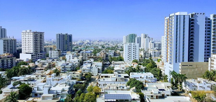
In Pakistan’s growing real estate market across Islamabad, Lahore, Karachi, and Rawalpindi, demand for these services has risen sharply. Property values are higher, legal requirements are stricter, and tenant expectations have changed. Managing it all alone has become harder than ever.
Here’s what typically falls under professional rental property management:
- Tenant screening and placement: Finding reliable tenants through CNIC and background checks
- Lease drafting: Preparing rental agreements in line with local requirements
- Rent collection, following up on monthly payments, and handling delays
- Property maintenance and repairs, coordinating routine upkeep and emergency fixes
- Utility and tax payments, making sure bills and property taxes are paid on time
- Legal and dispute handling: Resolving conflicts between tenants and landlords
- Financial reporting: Providing monthly updates to property owners
Types of Rental Property Management Services

Not all properties are the same, and neither are management needs. Here’s a quick overview:
| Service Type | What It Covers | Who Benefits Most |
| Tenant Management | Screening, lease drafting, and rent collection | Residential landlords |
| Property Maintenance | Repairs, inspections, upkeep | All property types |
| Financial Management | Tax payments, utility bills, and reporting | Overseas Pakistanis |
| Legal Assistance | Dispute handling, compliance, documentation | Commercial property owners |
| Vacancy Management | Marketing, tenant placement for empty units | Investors & landlords |
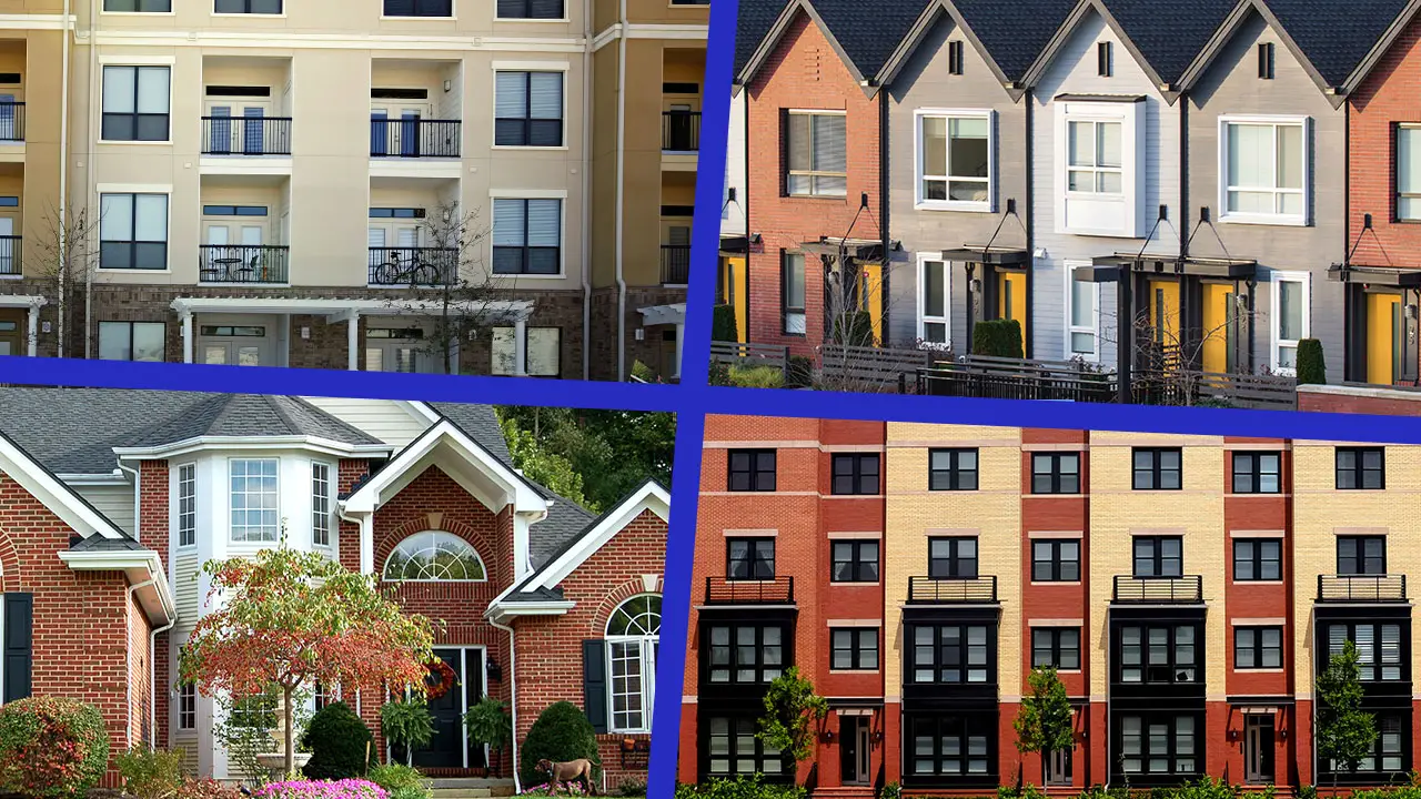
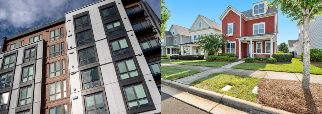
Residential property management is the most common covering homes, apartments, and multi-unit buildings. Commercial management handles offices, shops, and plazas, usually with more complex lease terms. Some companies also manage industrial properties like warehouses.
Why Property Owners in Pakistan Need These Services

Most landlords in Pakistan manage properties informally. A neighbor keeps an eye on the house. A relative collects rent. Things work until they don’t.
Common problems that push owners toward professional rental property management services:
- Tenants who delay or skip rent payments
- Properties sitting vacant for months without proper marketing
- Disputes over damages and security deposits
- Properties deteriorating due to a lack of maintenance
- Utility bills piling up during vacancies
- Legal complications with tenant agreements
For overseas Pakistanis, the challenge is even greater. Many own property in Islamabad or Lahore but live abroad. Relying on informal arrangements often leads to losses or disputes. Professional services fill this gap completely.
Understanding Rental Property Management Fees

Rental property management fees in Pakistan vary depending on property type, service scope, and the company you hire.
Here’s a general breakdown:
| Fee Type | Typical Range in Pakistan |
| Monthly Management Fee | 5% – 10% of the monthly rent |
| Tenant Placement / Leasing Fee | One month’s rent (one-time) |
| Maintenance Coordination Fee | Included in package or charged separately |
| Legal Documentation Fee | Fixed charge per agreement |
| Vacant Property Care | Flat monthly fee or % of market rent |
Always understand what’s included before signing. Some companies offer flat packages; others charge per service. Ask for a written breakdown up front.
As a practical example on a property renting at Rs. 60,000/month, a 7% management fee works out to Rs. 4,200/month. Against the time and stress it saves, most landlords consider this a fair exchange.
Compare rental property management fees across at least two or three companies before deciding. Cheaper isn’t always better; reliability and transparency matter more.
What to Expect From Good Rental Property Management Services
Not all rental property management services deliver the same level of service. Here’s what to look for:
1. Transparent Communication
You should receive regular reports on rent collection, maintenance, and tenant status. Monthly reporting is standard, especially for overseas clients.
2. Verified Tenant Screening
The wrong tenant can cost you months of rent and legal trouble. Look for companies that do proper CNIC verification, employment checks, and reference calls before placing any tenant.
3. A Reliable Maintenance Network
Emergencies happen. A good property manager has plumbers, electricians, and repair technicians on call. Your property shouldn’t wait weeks for maintenance.
4. Legal Knowledge
Your property manager should be familiar with tenancy regulations applicable in Islamabad, Lahore, and Karachi.
5. A Clear Written Fee Structure
Any legitimate company should clearly outline all rental property management fees in a written agreement before you commit.
How to Choose the Right Rental Property Management Services?
With so many rental property management services available, here’s a practical approach to narrowing it down:
- Start local. Choose a company with a strong presence in the city where your property is located.
- Check reviews. Review online feedback and, if possible, speak with existing clients before signing.
- Ask for a sample report. Reputable companies have standard monthly reporting formats; ask to see one.
- Compare fees. Don’t just go with the lowest quote. Understand what is and isn’t included.
- Read the contract carefully. Make sure it clearly covers termination conditions, notice periods, and responsibilities.
- Verify legal knowledge. The company should understand local tenancy laws and provide properly documented agreements.
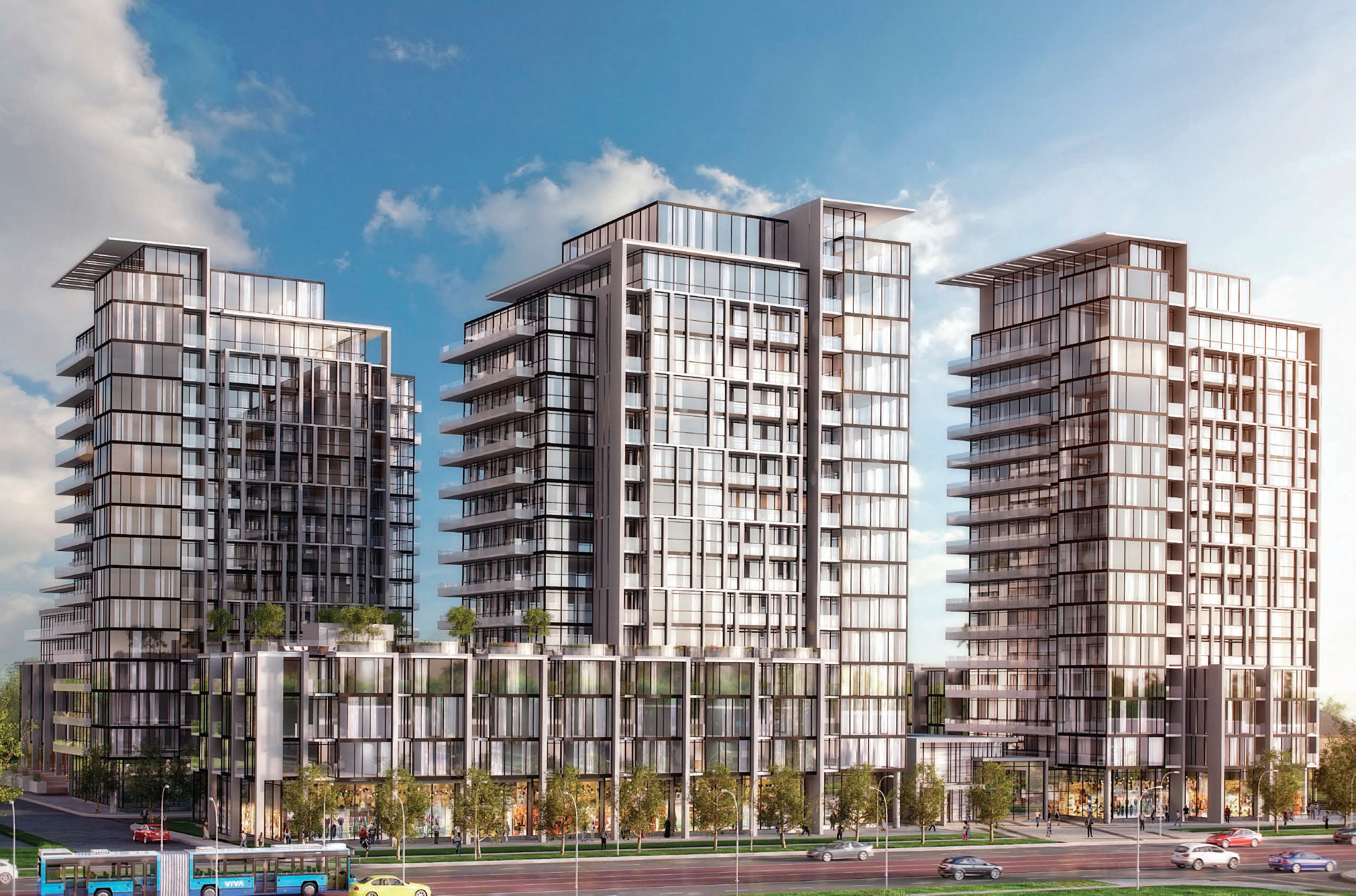
Citadel One3 | Luxury Condominium Complex
It is a contemporary residential apartment project developed by Chakor Ventures, designed to embody modern urban living in Islamabad. The development reflects a strong emphasis on architectural innovation, combining functionality with a refined aesthetic to create a comfortable and upscale living environment.
Spanning approximately 27,500 square feet, the project demonstrates efficient space utilization while maintaining a sense of openness and luxury within a compact footprint.
The concept of Citadel One3 centers on delivering a balanced lifestyle where sophistication meets practicality. The apartments are planned with contemporary layouts that cater to the needs of modern residents, offering both comfort and convenience. Attention to detail in design and construction highlights a commitment to quality, ensuring a premium residential experience.
Conclusion | Rental Property Management Services
Rental property management services have moved from being a luxury to a practical necessity in Pakistan’s real estate market. Whether you own one property or several, having professionals handle tenants, maintenance, and finances saves time, reduces stress, and often improves returns.
The key is choosing the right company for your needs. Compare rental property management fees, check their track record, and get everything in writing before handing over the keys.
If you’re looking for a holiday apartment in Islamabad, visit Chakor Ventures.
Read More:
- Condominium vs Townhouse: Ultimate Smart living Guide 2026
- Ultimate Benefits of Condominium Living in Islamabad 2026
- Condominium and Apartment Difference: Ultimate Helpful Guide 2026